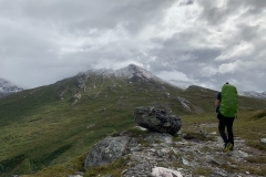
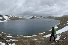
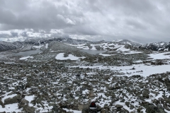
Blake being on Uni holidays and me ready for a bit of time off in the European summer saw us planning a hiking trip in Norway. The Trollheimen mountain area in central Norway provided a good spot to plan the trip and explore some mountains so 7 days of thru-hiking was locked in, making our way from cabin to cabin.
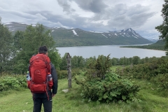
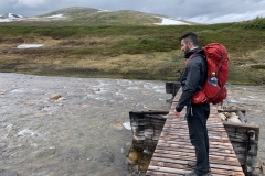
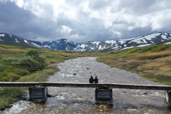
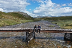
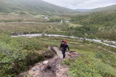
The week leading up to our hiking trip in Norway saw me keeping a close eye on the weather as it continued to show poor conditions and on Saturday we arrived to a rainy Oppdal where we spent the night. The next morning we sat in the hotel room for a few hours, looking out the window at the rain and cloudy skies, vacillating between hiking in the rain for the next week or changing plans. Since we were already there, we decided to commit to at least a few days and then make a decision based on conditions. We geared up and took a very expensive taxi out to Gjevilvasshytta and began to hike at 2pm, hoping that most of the rain had passed that morning. The next few hours saw us make our way into the mountains, experiencing a mix of sunshine, light rain and overcast skies. The 20°C day wasn’t too bad and we saw some stunning scenery before stopping for lunch on a wooden bridge over a river, we sat on the edge looking up the valley at snow-capped mountains.
We got the drone out for some quick photos before it began to rain again and we quickly packed up and took off for the second half of the days hiking. Half an hour later some very dark clouds started to roll towards us from the west, made more ominous by the deep rumble of thunder coming with them. It wasn’t long before we were in strong winds and heavy rain, progressing into hail which the storm whipped into us like someone throwing constant handfuls of pebbles. There was nowhere to take shelter in the wide rolling valley so we just put our heads down and picked up the pace to keep warm. Twenty minutes of fierce weather and the storm had blown itself past us, the sun came back out and our bodyheat dried our clothes as we made the final few hours to Jøldalshytta. We spent the night in a fully serviced cabin, complete with hot showers and dinner made for us. With more than 20hrs of sunlight this far north in the middle of the summer, the night never really arrives and it feels very strange to check the time thinking its 4pm when it turns out to be 10pm.
| Total Distance | 22.6km |
| Ascent | 925m |
| Descent | 865m |
| Total Time | 5hrs 54min |
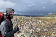
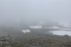
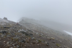
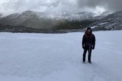
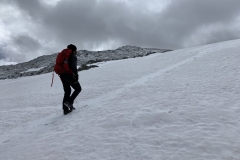
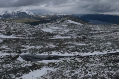
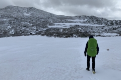
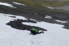
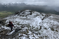
From Jøldalshytta we made our way to Trollheimshytta. There were three route options, and we had originally planned to take the high route, heading up the mountains and over Trollhotta Peak, over 1000m in altitude change, and following the mountain ridges most of the day. With the weather against us again, we decided to take the second option which followed a lower ridge and wound its way up to a mountain pass on the opposite side of the valley. The third option was to follow the river through the bottom of the valley which didn’t sound particularly interesting and which had lots of marshland which also didn’t sound appealing given all the rain. After the first hour or so of walking that morning, the rain again settled in and as we made our way higher towards the mountain pass, the clouds swept in around us. The half light filtering through the clouds made the barren rocks and snow seem even more otherworldly and we continued up and up until we finally reached the top of the pass. The landscape had changed in this time from grass and shrubs down in the valley to bare rocks and snow with running meltwater creating rivers on the trail.
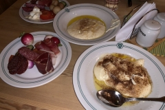
As we made our way down the other side of the mountain pass, the wind increased and the temperature dropped rapidly. We tucked our hands away, trying to keep our fingers warm. We soon had to stop and open our bags with numb fingers, much more difficult than it sounds, and strip off our jackets to put on more layers and gloves. We ate on the run, munching some bagels on our way down to the next hut. An even more delicious dinner welcomed us this night. Roasted reindeer and vegetables followed by a rhubarb crumble with custard.
Tonight we had to decide whether we wanted to continue the long planned hike or cut it short and make it back to Oppdal and tomorrow. With the weather looking to get colder and continue to rain the rest of the week we opted to complete only the Triangle Hike which meant the next day hiking back to Gjevilvasshytta.
| Total Distance | 18.4km |
| Ascent | 785m |
| Descent | 995m |
| Total Time | 5hrs 16min |
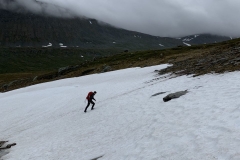
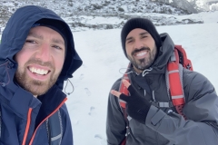
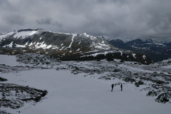
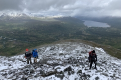
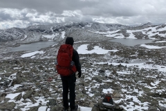
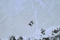
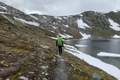
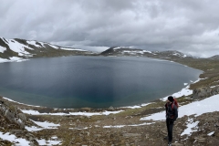
I was disappointed we wouldn’t get to see the famed Innerdalen Valley and hike some of the peaks in the area but it just didn’t seem safe or feasible with the conditions continuing to get worse. We departed mid-morning and again began our hike heading upwards towards another mountain pass. With the temperatures dropping overnight and the day expected to be a high of -2°C and fresh snow covering the ground, it was a completely different landscape as soon as we gained some altitude out of the valley. The day was the best yet with clouds but little rain and we trekked along the high mountain passes, crossing snowbanks and skirting frozen lakes. Absolutely stunning and we even had some time free of falling snow and rain to get the drone out and take some more pictures.
After a full day of hiking, we walked an additional few kilometres along the road, waiting for someone to pick us up as we hitchhiked back to Oppdal. A shower at the local pool and then we got on the train back to Trondheim where we sorted flights back to London.
| Total Distance | 24.2km |
| Ascent | 1240m |
| Descent | 1000m |
| Total Time | 6hrs 55min |

