Hiking to Everest Base Camp
The day before the Everest Base Camp (EBC) Hike started I met the rest of the group that were to be my trekking team over the next two weeks on our way up to Everest Base Camp and back. We got a run-down of the schedule and conditions to expect from our head guide Prabin and then we went off to rent or buy any additional gear we needed before leaving. Kathmandu is the main hub for starting any treks throughout Nepal, whether it be the popular EBC trek, the Annapurna Circuit or any other number of incredible passes and peaks in the Himalayan or Annapurna Mountain Ranges and so can provide anything you could possibly need on the hike, whether buying or renting.
Day 01 – Thursday 08th, November 2018 (Lukla 2860m to Phakding 2610m)
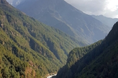
5am meeting time in the hotel lobby with all our gear packed before a smooth bus trip to the airport and through airport check-in and security. 10kg checked luggage allowance, which I was well under, and it wasn’t long before we were all on the small plane (seated around 16 people) and taking off to Lukla Airport. As you leave Kathmandu and head up to the air-strip in the mountains, that’s when you begin to get an appreciation of the rippled landscape that makes up Nepal. There is very little flat land as you make your way into the hills and the hills (anything under 6000m) quickly turn into jagged peaks and snow-capped mountains in the distance. It must be a very hard living for people who make their homes in the mountains, with any food painstakingly tilled from whatever areas of the steep earth that can be made into terraced fields. Any resources required to build, farm, eat or even to live are carried from one of the few larger towns who get air-supplies by porters. Porters load these supplies onto their backs, which can weigh anywhere between 30 and 120kg and slowly trudge them up and down the steep mountain paths to other villages. The mountains are too steep to allow any sort of transport beyond ones own two feet, or the endless streams of yaks, cows and horses that act as baggage trains along the mountain paths.
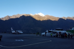
The clouds obscured deep valleys with fluffy ribbons of white flowing between the brown ridges of the hills. The plane was flying at a proper altitude but given how high the hills are above sea level, the plane seemed entirely too close to the ground below as we made our way towards our destination. After a short flight of about 40min we landed safely at the worlds most dangerous airport. The airport runway is only 527m long and there is little time for descent given the altitude of the airport is around 2860m. The surrounding airspace is filled with steep mountains that reach even further into the sky and the far end of the runway when taking off is a cliff drop of over 600m meaning there are no second chances when taking off or landing here. For me the biggest surprise was the fact that the runway itself has a gradient along its length of around 12%, making it very steep. All these factors combined with the unpredictable weather and no navigation aids make this airport a harrowing experience. Two of our trekking group are pilots in the Irish Air Corps and I think they alone really appreciated how all these factors combine to make this so dangerous.
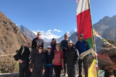
We disembarked the plane to rude shocks of a strong icy wind, hurrying us all back into the airport to collect our bags and then walk over to a tea house for breakfast. Lukla itself is much colder than the valley and the next few days of hiking beyond. The wind whipping between the hills and the fact that the town hides in the shadow of the surrounding mountains until well into the day make it a very cold starting point. We all added extra layers in the tea house and I was internally assessing whether I had made a big mistake not bringing more thermal layers and cold weather gear. In the tea house we met the rest of our Nepali team that were to help us reach EBC. Besides Prabin, our head guide, there were two assistant guides (Biru and Kanchin) and then 5 porters, each who would carry two trekkers checked in luggage bags, leaving us to carry only our day packs with whatever we deemed essential.
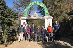
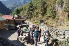
After a 5am departure from our hotel in Kathmandu, it was now 9am when we all filed out of the tea house to begin the first steps of our 12 day hike to EBC and back. Despite me chomping at the bit to get stuck into some serious kilometres, each day is meticulously planned to allow everyone’s bodies to adjust to the increasing altitude. We only walked 3hrs on this first day, from Lukla, down into the next valley to stay at Phakding (2610m). Once we were out of Lukla and the sun had crested the mountains, the weather warmed considerably and we had all stripped back to just shirts as we walked along, chatting and getting to know one another. This short first day was also a good tester to allow people to assess the weight in their day packs, the amount of layers they had on and how much water and food they needed to carry.
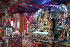
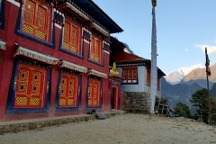
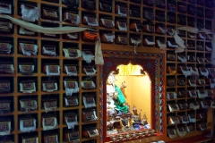
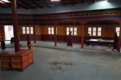
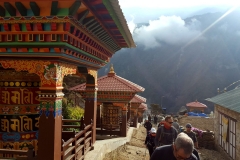
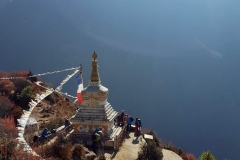
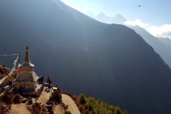
After lunch in Phakding I decided to go for a walk up into the mountains behind the town. Jelena volunteered to come along and so without much of a plan except reaching the top of the hill behind out tea house, we wandered off into the dense forest, following the trails covered in pine needles and chatting as we wound our way up and down and past other little villages, sometimes having to backtrack when we got too far away from the general direction of our goal. After a couple of hours of exploring we stumbled across a beautiful monastery hidden amongst the dense forest so that it had an amazing view down the valley but from below we had no idea it was there until we came upon it. Like something out of a fairytale, it was brightly coloured, painted red and trimmed in gold and blue, and the whole scene was eerily quiet. We took some photos outside before deciding to enter where we found a group of children playing in the covered courtyard. Their English was limited and our Nepalese non-existent but they beckoned us in and took us inside the ceremony room where the monks perform their rituals each day and allowed us to take photos and look around. It truly was magical.
The afternoon was slipping away and the sun disappearing fast behind the tall mountains, creating an early darkness as we cut through the forest, taking a steeper, quicker, animal path back down to our tea house, arriving just before the start of dinner.
Day 02 – Friday 09th, November 2018 (Phakding 2610m to Namche Bazaar 3440m)
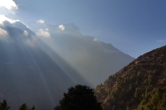
After a sound sleep I woke around 6am. In search of my first mountain sunrise I took my blanket down to the common room to sit on one of the benches and watch the valley lighten through the window. Although there was no sunrise to watch with the tall mountains and position of the tea house, it was still beautiful watching the sky change colours and the house and town wake.
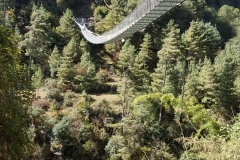
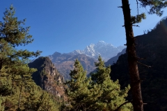
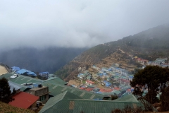
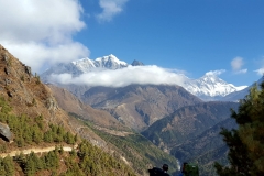
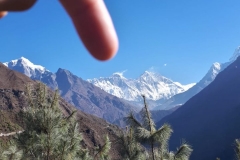
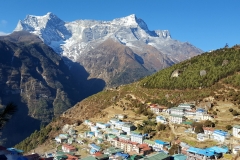
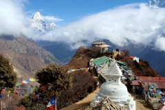
Day 02 was our first full day of hiking and we climbed steadily up through the hills for around 7hrs. Eventually we arrived at Namche Bazaar (3440m), one of the largest villages along the whole trail and one that many people remember as being a highlight of the trip. It is nestled into a fold of the mountain, looking down into the steep valley below and then across at the dramatically rising peaks opposite. Each successive row of buildings stretch up the hillside in steps, rising up in front of you as you round the corner and view the village above you for the first time. The day of hiking also included crossing 5 suspension bridges, the last and highest some 250m from the rushing river below, the swaying and jostling movement unnerving some of the group. We also got our first glimpse of Mt Everest during the late afternoon, not long before reaching Namche Bazaar. Through a clearing in the trees, our guide pointed up the valley and far into the distance, we could see the very tip of the tallest mountain in the world, poking its gentle head above the mountain range in front of it, slightly covered by cloud and with a wispy trail of windblown snow swirling off to one side.
Momos and dal bhat for dinner (a staple most days of the hike) before another early night to bed, ready to rise for another day in the Himalayas.
Day 03 – Saturday 10th, November 2018 (Day Hike to 3810m)
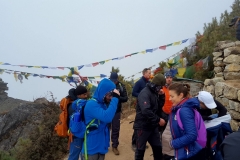
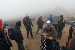
Although Namche Bazaar and the rooms in the tea house are quite cold, I was toasty warm in my sleeping bag and a blanket over the top. Again I woke and went down to the common room to watch the valley and town from around 6am. The whole town was walled in with rolling banks of cloud funneling themselves up the valley like silent waves rolling up the beach. The grey allowed only brief glimpse of the surrounding mountains and village, keeping us enclosed in fog the whole day. Not such a bad thing as today was just an acclimatisation hike up a nearby hill and the dense grey fog made for an ethereal walk up the barren mountain paths. After a couple of hours of walking we reached 3775m and then after a group discussion decided to continue to 3880m where we stopped for morning tea at a small tea house at the top. Hot lemon, ginger and honey tea all round as we let our bodies adjust to the nearly 4000m altitude above sea level and then we all headed back down the hill to Namche Bazaar for lunch. Today was Jelenas 30th birthday (what a way to spend your birthday!!) and so we found a bakery in town and ate hot brownies with chocolate sauce in celebration.
Day 04 – Sunday 11th, November 2018 (Namche Bazaar 3440m to Phortse Gaon 3810m)
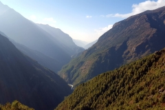
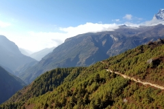
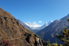
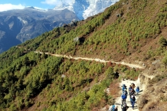
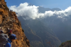
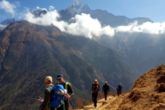
Porridge with apple and peanut butter for breakfast at 7:15am before departing around 8am. The clouds had passed overnight, leaving a clear blue sky for us to hike beneath. Once the sun crested the mountains, it soon warmed us as we climbed our way out of Namche Bazaar along with the busy trail of other hikers leaving the town to head further into the mountains. The groups soon spread out as we left the village behind and it became much more peaceful walking along with our own relatively small group. The morning was spent winding our way along the mountainsides as we took in the unreal views of the imposing mountains ahead and the deep valley behind that we had spent the last few days traversing. We took lots of excited photos of the still distant Everest peak that continues to be seen above the lower ridgeline in front of it. Tuna and vegetable momos for lunch at about 1pm and an elevation of 3975m before we had to descend to the valley floor, cross the river and then rise back up again to 3810m and Phortse Gaon, our village for the night.

